Public footpath to Low Cotehill
Introduction
The photograph on this page of Public footpath to Low Cotehill by Rose and Trev Clough as part of the Geograph project.
The Geograph project started in 2005 with the aim of publishing, organising and preserving representative images for every square kilometre of Great Britain, Ireland and the Isle of Man.

There are currently over 7.5m images from over 14,400 individuals and you can help contribute to the project by visiting https://www.geograph.org.uk
Public footpath to Low Cotehill
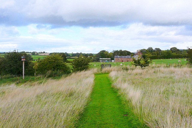
Image: © Rose and Trev Clough Taken: 18 Sep 2013
This luxurious bit of path is in the grounds of some barn conversions, and extends from their lawn to a stile ahead. On a post to the left is Image .
Images are licensed for reuse under creativecommons.org/licenses/by-sa/2.0
Image Location
Latitude
54.846305
Longitude
-2.827203