Mon & Brec canal towpath at the Open Hearth pub
Introduction
The photograph on this page of Mon & Brec canal towpath at the Open Hearth pub by Christine Johnstone as part of the Geograph project.
The Geograph project started in 2005 with the aim of publishing, organising and preserving representative images for every square kilometre of Great Britain, Ireland and the Isle of Man.

There are currently over 7.5m images from over 14,400 individuals and you can help contribute to the project by visiting https://www.geograph.org.uk
Mon & Brec canal towpath at the Open Hearth pub
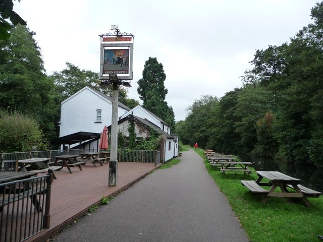
Image: © Christine Johnstone Taken: 15 Sep 2013
As its sign shows, the pub's name refers to steel-making.
Images are licensed for reuse under creativecommons.org/licenses/by-sa/2.0
Image Location
Latitude
51.681608
Longitude
-3.023417