Out Elmstead Lane
Introduction
The photograph on this page of Out Elmstead Lane by John Baker as part of the Geograph project.
The Geograph project started in 2005 with the aim of publishing, organising and preserving representative images for every square kilometre of Great Britain, Ireland and the Isle of Man.

There are currently over 7.5m images from over 14,400 individuals and you can help contribute to the project by visiting https://www.geograph.org.uk
Out Elmstead Lane
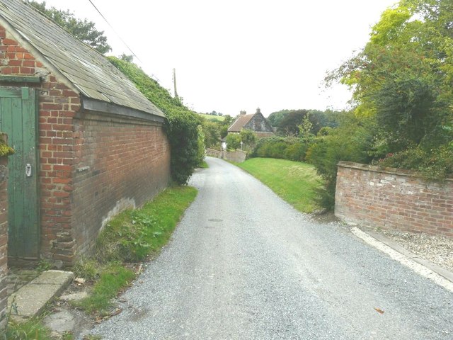
Image: © John Baker Taken: 15 Sep 2013
The gap, beyond the building on the left, is the entrance to Out Elmstead Farm. The house, in the distance on the right, is known as Black Mill Cottage.
Images are licensed for reuse under creativecommons.org/licenses/by-sa/2.0
Image Location
Latitude
51.214921
Longitude
1.154573