Permissive Path to Bewl Water
Introduction
The photograph on this page of Permissive Path to Bewl Water by David Anstiss as part of the Geograph project.
The Geograph project started in 2005 with the aim of publishing, organising and preserving representative images for every square kilometre of Great Britain, Ireland and the Isle of Man.

There are currently over 7.5m images from over 14,400 individuals and you can help contribute to the project by visiting https://www.geograph.org.uk
Permissive Path to Bewl Water
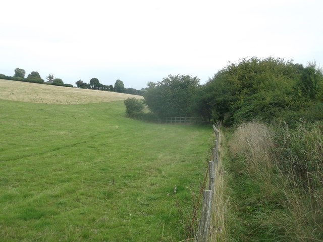
Image: © David Anstiss Taken: 21 Sep 2013
A path leads from Claphatch Lane alongside a stream feeding into the reservoir. The path then leads along the edge of the reservoir. This path is mainly used by bird watchers and people looking after the nature reserve.
Images are licensed for reuse under creativecommons.org/licenses/by-sa/2.0
Image Location


Leaflet Map data © OpenStreetMap
Latitude
51.064614
Longitude
0.384526