Track to Bewl Water Nature reserve
Introduction
The photograph on this page of Track to Bewl Water Nature reserve by David Anstiss as part of the Geograph project.
The Geograph project started in 2005 with the aim of publishing, organising and preserving representative images for every square kilometre of Great Britain, Ireland and the Isle of Man.

There are currently over 7.5m images from over 14,400 individuals and you can help contribute to the project by visiting https://www.geograph.org.uk
Track to Bewl Water Nature reserve
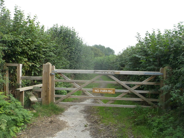
Image: © David Anstiss Taken: 21 Sep 2013
This track (a permissive path) leads from Image, towards a track along the edge of Bewl Water reservoir. This is mainly used by bird watchers. Several hides have been set up in the nature reserve to watch birds on the water.
Images are licensed for reuse under creativecommons.org/licenses/by-sa/2.0
Image Location
Latitude
51.062519
Longitude
0.385846