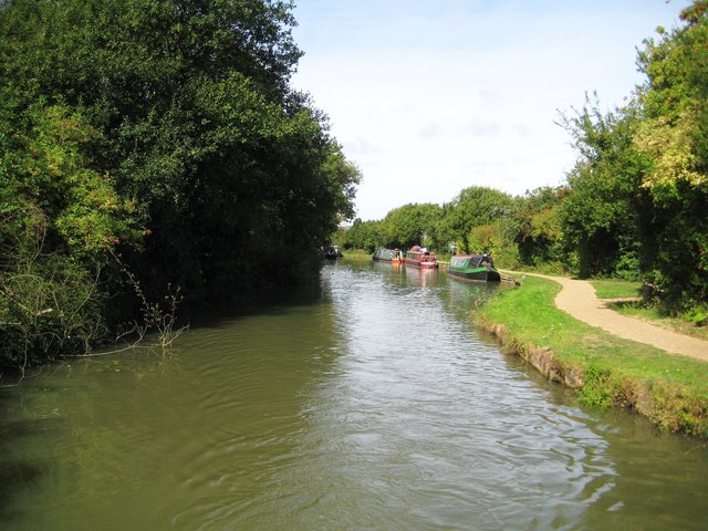
Grand Union Canal: Site of former Bridge Number 70
Introduction
The photograph on this page of Grand Union Canal: Site of former Bridge Number 70 by Nigel Cox as part of the Geograph project.
The Geograph project started in 2005 with the aim of publishing, organising and preserving representative images for every square kilometre of Great Britain, Ireland and the Isle of Man.
There are currently over 7.5m images from over 14,400 individuals and you can help contribute to the project by visiting https://www.geograph.org.uk

Image: © Nigel Cox Taken: 1 Sep 2013
This distinctive narrowing of the canal shows the site of the former Bridge Number 70. This was originally a farmers' accommodation bridge allowing access between fields on either side of the canal, but probably became surplus to requirements as this area of Wolverton became increasingly industrialized with the large railway carriage works to the south. It appears on the large scale Ordnance Survey map of 1881 but is not shown on the edition of 1900.

