Tower, St Mary the Virgin, Higher Brixham
Introduction
The photograph on this page of Tower, St Mary the Virgin, Higher Brixham by Tom Jolliffe as part of the Geograph project.
The Geograph project started in 2005 with the aim of publishing, organising and preserving representative images for every square kilometre of Great Britain, Ireland and the Isle of Man.

There are currently over 7.5m images from over 14,400 individuals and you can help contribute to the project by visiting https://www.geograph.org.uk
Tower, St Mary the Virgin, Higher Brixham
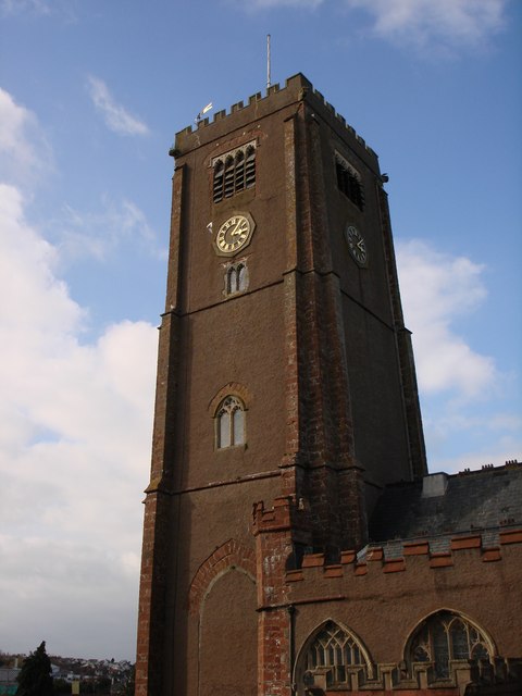
Image: © Tom Jolliffe Taken: 15 Mar 2007
This is a major feature of Higher Brixham. The paths through the graveyard are used by residents for access to Milton Street. People often sit and chat under the lea of the tower. The bells are rung frequently.
Images are licensed for reuse under creativecommons.org/licenses/by-sa/2.0
Image Location


Leaflet Map data © OpenStreetMap
Latitude
50.386218
Longitude
-3.519108