Rochdale: Church Lane
Introduction
The photograph on this page of Rochdale: Church Lane by Dr Neil Clifton as part of the Geograph project.
The Geograph project started in 2005 with the aim of publishing, organising and preserving representative images for every square kilometre of Great Britain, Ireland and the Isle of Man.

There are currently over 7.5m images from over 14,400 individuals and you can help contribute to the project by visiting https://www.geograph.org.uk
Rochdale: Church Lane
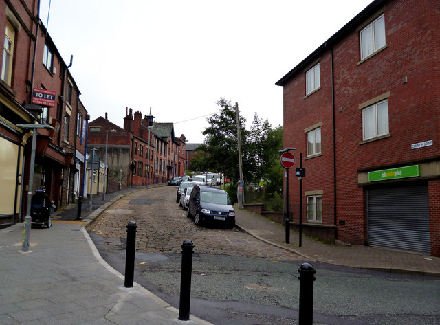
Image: © Dr Neil Clifton Taken: 21 Sep 2013
Looking south from its junction with Fleece Street. Three hundred years ago, a traveller to Oldham would have begun his journey this way.
Images are licensed for reuse under creativecommons.org/licenses/by-sa/2.0
Image Location
Latitude
53.615964
Longitude
-2.156568