Copsem Lane
Introduction
The photograph on this page of Copsem Lane by Ian Capper as part of the Geograph project.
The Geograph project started in 2005 with the aim of publishing, organising and preserving representative images for every square kilometre of Great Britain, Ireland and the Isle of Man.

There are currently over 7.5m images from over 14,400 individuals and you can help contribute to the project by visiting https://www.geograph.org.uk
Copsem Lane
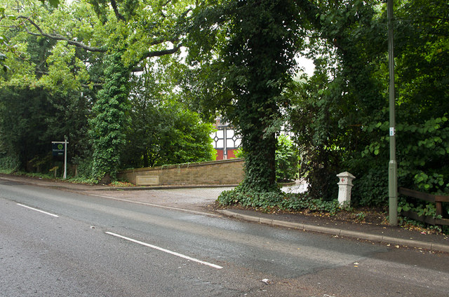
Image: © Ian Capper Taken: 14 Sep 2013
The A244 between Leatherhead and Esher, a much more important route than its name might suggest. In the background is an upmarket cul de sac, The Rythe, named after a stream of the same name whose source is alongside the road and which eventually joins the Thames at Thames Ditton. For a close up of the coal tax post on the right, see Image
Images are licensed for reuse under creativecommons.org/licenses/by-sa/2.0
Image Location
Latitude
51.347515
Longitude
-0.363502