Radyr Loop Line bridge
Introduction
The photograph on this page of Radyr Loop Line bridge by Gareth James as part of the Geograph project.
The Geograph project started in 2005 with the aim of publishing, organising and preserving representative images for every square kilometre of Great Britain, Ireland and the Isle of Man.

There are currently over 7.5m images from over 14,400 individuals and you can help contribute to the project by visiting https://www.geograph.org.uk
Radyr Loop Line bridge
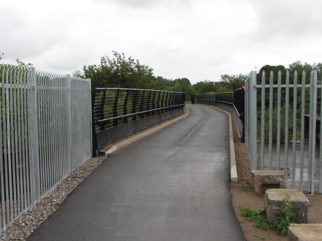
Image: © Gareth James Taken: 22 Sep 2013
The bridge across the Taff that used to carry the Radyr Loop Line, allowing southbound trains departing Radyr Yard direct access to the Taff Vale Line through Llandaff, has recently been reopened as a footbridge.
Images are licensed for reuse under creativecommons.org/licenses/by-sa/2.0
Image Location
Latitude
51.508145
Longitude
-3.239267