West Hope
Introduction
The photograph on this page of West Hope by Oliver Dixon as part of the Geograph project.
The Geograph project started in 2005 with the aim of publishing, organising and preserving representative images for every square kilometre of Great Britain, Ireland and the Isle of Man.

There are currently over 7.5m images from over 14,400 individuals and you can help contribute to the project by visiting https://www.geograph.org.uk
West Hope
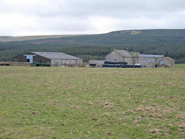
Image: © Oliver Dixon Taken: 13 Mar 2007
A farm on a side road off the Stang road. Stang Forest lies beyond. The patch which is almost bare of trees near the top is Hope Edge Image
Images are licensed for reuse under creativecommons.org/licenses/by-sa/2.0
Image Location
Latitude
54.479406
Longitude
-1.9566