Location of dismantled Blaina railway station
Introduction
The photograph on this page of Location of dismantled Blaina railway station by Jaggery as part of the Geograph project.
The Geograph project started in 2005 with the aim of publishing, organising and preserving representative images for every square kilometre of Great Britain, Ireland and the Isle of Man.

There are currently over 7.5m images from over 14,400 individuals and you can help contribute to the project by visiting https://www.geograph.org.uk
Location of dismantled Blaina railway station
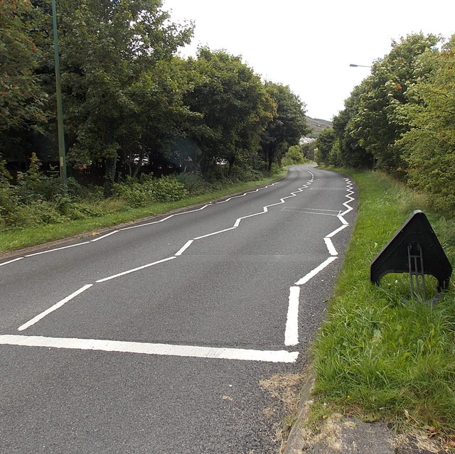
Image: © Jaggery Taken: 18 Sep 2013
Located in West Side, Blaina, the A467 here follows the route of a dismantled railway. Blaina railway station used to be here. Passenger services in this area ended in 1962. Nearby are Station Road and Railway Terrace.
Images are licensed for reuse under creativecommons.org/licenses/by-sa/2.0
Image Location
Latitude
51.764931
Longitude
-3.161805