Farm access road leading to Gwern-yr-ewig
Introduction
The photograph on this page of Farm access road leading to Gwern-yr-ewig by Trevor Littlewood as part of the Geograph project.
The Geograph project started in 2005 with the aim of publishing, organising and preserving representative images for every square kilometre of Great Britain, Ireland and the Isle of Man.

There are currently over 7.5m images from over 14,400 individuals and you can help contribute to the project by visiting https://www.geograph.org.uk
Farm access road leading to Gwern-yr-ewig
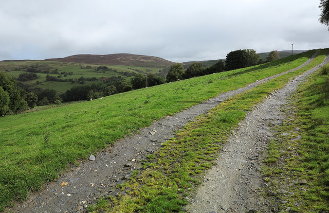
Image: © Trevor Littlewood Taken: 16 Sep 2013
A forestry road rises from Cwm Hirnant and continues as the access to the farm at Gwern-yr-ewig; Foel Cwm-Sian Llwyd is the moorland mountain seen across the valley.
Images are licensed for reuse under creativecommons.org/licenses/by-sa/2.0
Image Location
Latitude
52.875877
Longitude
-3.54329