Flood Channel
Introduction
The photograph on this page of Flood Channel by Tony Atkin as part of the Geograph project.
The Geograph project started in 2005 with the aim of publishing, organising and preserving representative images for every square kilometre of Great Britain, Ireland and the Isle of Man.

There are currently over 7.5m images from over 14,400 individuals and you can help contribute to the project by visiting https://www.geograph.org.uk
Flood Channel
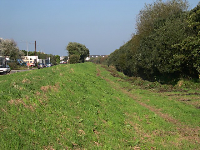
Image: © Tony Atkin Taken: 15 Oct 2005
This grassy area between the stream, which is underneath the bushes, and the road to the left would take flood water in the event of extreme rainfall. Presumably before the road was built and the valley bottom was drained there was marshland here which would have performed the same function without maintenance.
Images are licensed for reuse under creativecommons.org/licenses/by-sa/2.0
Image Location
Latitude
50.342148
Longitude
-5.145859