Access lane to Rhas Fawr Farm east of Brynmawr
Introduction
The photograph on this page of Access lane to Rhas Fawr Farm east of Brynmawr by Jaggery as part of the Geograph project.
The Geograph project started in 2005 with the aim of publishing, organising and preserving representative images for every square kilometre of Great Britain, Ireland and the Isle of Man.

There are currently over 7.5m images from over 14,400 individuals and you can help contribute to the project by visiting https://www.geograph.org.uk
Access lane to Rhas Fawr Farm east of Brynmawr
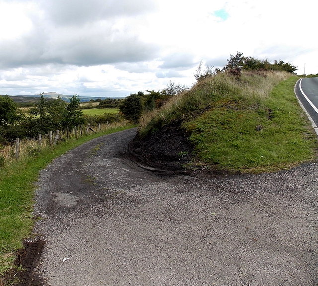
Image: © Jaggery Taken: 14 Sep 2013
Viewed from the edge of the B4248 on the right. The farm is about 150 metres ahead along the lane.
Images are licensed for reuse under creativecommons.org/licenses/by-sa/2.0
Image Location
Latitude
51.796182
Longitude
-3.156663