Former Railway Inn, Pembroke
Introduction
The photograph on this page of Former Railway Inn, Pembroke by Jaggery as part of the Geograph project.
The Geograph project started in 2005 with the aim of publishing, organising and preserving representative images for every square kilometre of Great Britain, Ireland and the Isle of Man.

There are currently over 7.5m images from over 14,400 individuals and you can help contribute to the project by visiting https://www.geograph.org.uk
Former Railway Inn, Pembroke
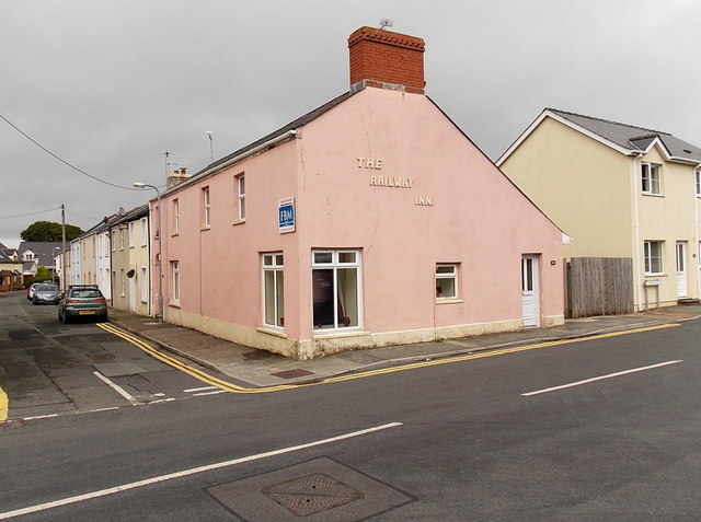
Image: © Jaggery Taken: 12 Sep 2013
The pink building on the corner of Station Road and Orchard Buildings retains the name of The Railway Inn on the wall on the Station Road side.
Images are licensed for reuse under creativecommons.org/licenses/by-sa/2.0
Image Location


Leaflet Map data © OpenStreetMap
Latitude
51.67368
Longitude
-4.905347