Moatside Lane, Durham
Introduction
The photograph on this page of Moatside Lane, Durham by David P Howard as part of the Geograph project.
The Geograph project started in 2005 with the aim of publishing, organising and preserving representative images for every square kilometre of Great Britain, Ireland and the Isle of Man.

There are currently over 7.5m images from over 14,400 individuals and you can help contribute to the project by visiting https://www.geograph.org.uk
Moatside Lane, Durham
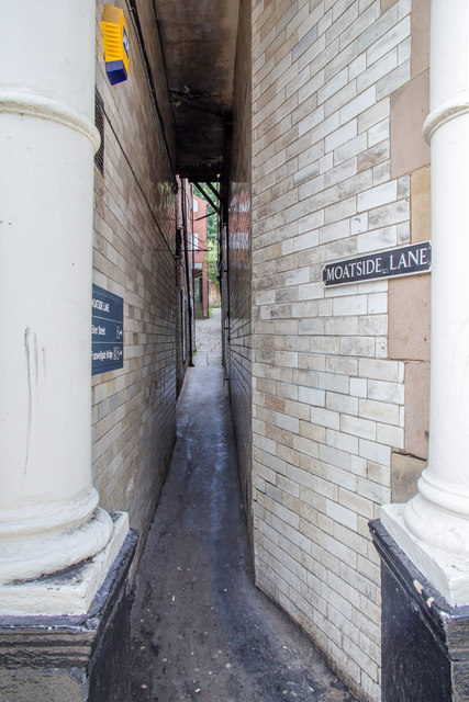
Image: © David P Howard Taken: 27 Aug 2013
This very narrow lane off Saddler Street runs along the line of the old defensive dry moat across the northern side of the castle peninsula. http://www.durhamworldheritagesite.com/architecture/castle/intro/peninsula/dry-moat
Images are licensed for reuse under creativecommons.org/licenses/by-sa/2.0
Image Location
Latitude
54.776041
Longitude
-1.575102