Rowandean Court Cinderford
Introduction
The photograph on this page of Rowandean Court Cinderford by Jaggery as part of the Geograph project.
The Geograph project started in 2005 with the aim of publishing, organising and preserving representative images for every square kilometre of Great Britain, Ireland and the Isle of Man.

There are currently over 7.5m images from over 14,400 individuals and you can help contribute to the project by visiting https://www.geograph.org.uk
Rowandean Court Cinderford
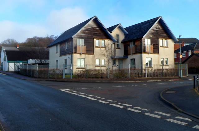
Image: © Jaggery Taken: 16 Dec 2012
Housing located about 70 metres south of the NW end of High Street.
Images are licensed for reuse under creativecommons.org/licenses/by-sa/2.0
Image Location
Latitude
51.827861
Longitude
-2.502599