Base of a very large tree in St Faith's Churchyard Winchester
Introduction
The photograph on this page of Base of a very large tree in St Faith's Churchyard Winchester by Tim Hodgins as part of the Geograph project.
The Geograph project started in 2005 with the aim of publishing, organising and preserving representative images for every square kilometre of Great Britain, Ireland and the Isle of Man.

There are currently over 7.5m images from over 14,400 individuals and you can help contribute to the project by visiting https://www.geograph.org.uk
Base of a very large tree in St Faith's Churchyard Winchester
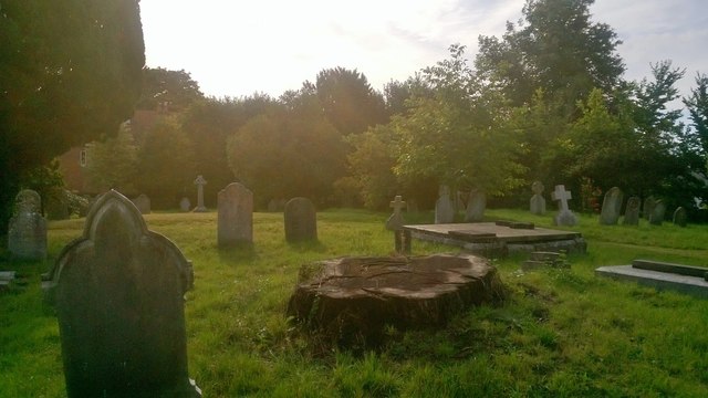
Image: © Tim Hodgins Taken: 10 Sep 2013
St Faith's was demolished in 1507 and St Cross (down the road) has been used as the parish church since then. The churchyard seems to have been used up until comparatively recently. There are two military graves from World War One.
Images are licensed for reuse under creativecommons.org/licenses/by-sa/2.0
Image Location
Latitude
51.052167
Longitude
-1.321561