MONTGATEHEAD sign
Introduction
The photograph on this page of MONTGATEHEAD sign by Stanley Howe as part of the Geograph project.
The Geograph project started in 2005 with the aim of publishing, organising and preserving representative images for every square kilometre of Great Britain, Ireland and the Isle of Man.

There are currently over 7.5m images from over 14,400 individuals and you can help contribute to the project by visiting https://www.geograph.org.uk
MONTGATEHEAD sign
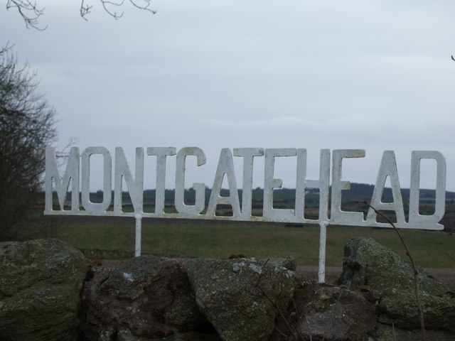
Image: © Stanley Howe Taken: 14 Mar 2007
Near here the causeys (causeways over boggy ground) on The Causey Mounth came to an end travelling south, although the road continued to Stonehaven [per Robert Smith 'Grampian Ways'].
Images are licensed for reuse under creativecommons.org/licenses/by-sa/2.0
Image Location
Latitude
57.016549
Longitude
-2.195626