Former Globe pub, Cinderford
Introduction
The photograph on this page of Former Globe pub, Cinderford by Jaggery as part of the Geograph project.
The Geograph project started in 2005 with the aim of publishing, organising and preserving representative images for every square kilometre of Great Britain, Ireland and the Isle of Man.

There are currently over 7.5m images from over 14,400 individuals and you can help contribute to the project by visiting https://www.geograph.org.uk
Former Globe pub, Cinderford
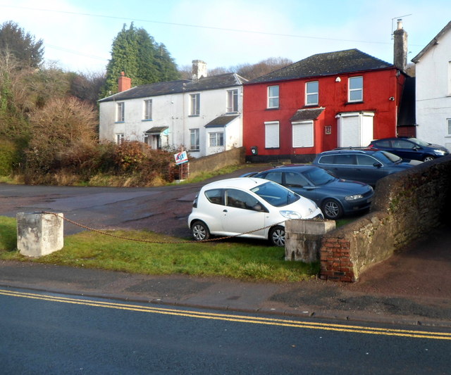
Image: © Jaggery Taken: 16 Dec 2012
Set back from the east side of High Street, the reddish brown house used to be the Globe pub.
Images are licensed for reuse under creativecommons.org/licenses/by-sa/2.0
Image Location
Latitude
51.827778
Longitude
-2.501147