Drummond Street, Dundee
Introduction
The photograph on this page of Drummond Street, Dundee by Elliott Simpson as part of the Geograph project.
The Geograph project started in 2005 with the aim of publishing, organising and preserving representative images for every square kilometre of Great Britain, Ireland and the Isle of Man.

There are currently over 7.5m images from over 14,400 individuals and you can help contribute to the project by visiting https://www.geograph.org.uk
Drummond Street, Dundee
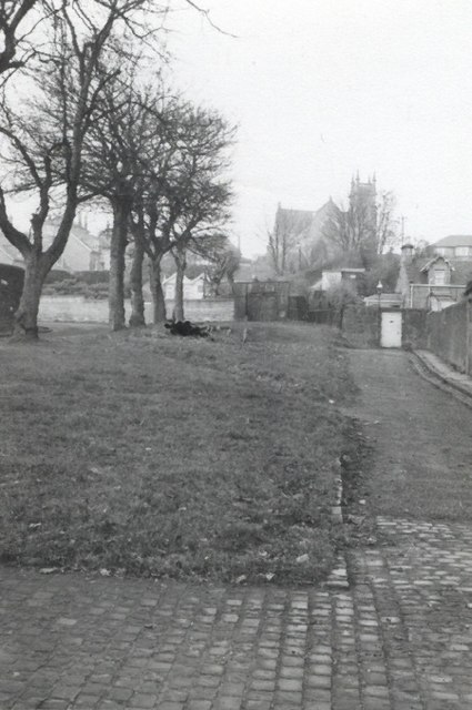
Image: © Elliott Simpson Taken: Unknown
The track of the 1830s Dundee to Newtyle Railway ran up an incline between the line of trees and the road on the right towards the tunnel - the entrance of the tunnel was under the church seen in the distance.
Images are licensed for reuse under creativecommons.org/licenses/by-sa/2.0
Image Location
Latitude
56.467691
Longitude
-2.982236