Kimbridge Lane crosses the River Test
Introduction
The photograph on this page of Kimbridge Lane crosses the River Test by Stuart Logan as part of the Geograph project.
The Geograph project started in 2005 with the aim of publishing, organising and preserving representative images for every square kilometre of Great Britain, Ireland and the Isle of Man.

There are currently over 7.5m images from over 14,400 individuals and you can help contribute to the project by visiting https://www.geograph.org.uk
Kimbridge Lane crosses the River Test
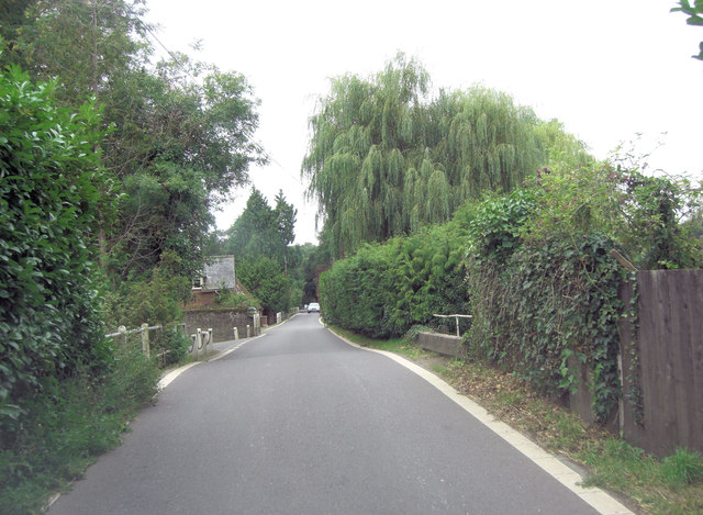
Image: © Stuart Logan Taken: 11 Sep 2013
The lane crosses a complex of channels, emanating from the adjacent trout farm which sits beside the River Test, before bridging the main watercourse.
Images are licensed for reuse under creativecommons.org/licenses/by-sa/2.0
Image Location


Leaflet Map data © OpenStreetMap
Latitude
51.029004
Longitude
-1.530663