River Test at Kimbridge - looking upstream
Introduction
The photograph on this page of River Test at Kimbridge - looking upstream by Stuart Logan as part of the Geograph project.
The Geograph project started in 2005 with the aim of publishing, organising and preserving representative images for every square kilometre of Great Britain, Ireland and the Isle of Man.

There are currently over 7.5m images from over 14,400 individuals and you can help contribute to the project by visiting https://www.geograph.org.uk
River Test at Kimbridge - looking upstream
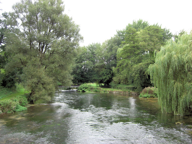
Image: © Stuart Logan Taken: 11 Sep 2013
Under leaden skies the sparkling waters of the river look dark but make no mistake, this is some of the best trout-fishing water in the world. The river is 40 miles in length and more detail can be found at: http://en.wikipedia.org/wiki/River_Test
Images are licensed for reuse under creativecommons.org/licenses/by-sa/2.0
Image Location


Leaflet Map data © OpenStreetMap
Latitude
51.029011
Longitude
-1.532374