Junction of minor roads near Higher Eype
Introduction
The photograph on this page of Junction of minor roads near Higher Eype by Stephen Williams as part of the Geograph project.
The Geograph project started in 2005 with the aim of publishing, organising and preserving representative images for every square kilometre of Great Britain, Ireland and the Isle of Man.

There are currently over 7.5m images from over 14,400 individuals and you can help contribute to the project by visiting https://www.geograph.org.uk
Junction of minor roads near Higher Eype
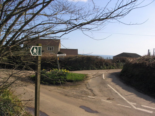
Image: © Stephen Williams Taken: 13 Mar 2007
The view from the public footpath as you emerge at this junction, including a glimpse of sea. The signpost says 'Down House Lane no through road', and this road leads to Down House Farm, a National Trust property.
Images are licensed for reuse under creativecommons.org/licenses/by-sa/2.0
Image Location


Leaflet Map data © OpenStreetMap
Latitude
50.728922
Longitude
-2.786581