Visibility splay at Chelston
Introduction
The photograph on this page of Visibility splay at Chelston by David Smith as part of the Geograph project.
The Geograph project started in 2005 with the aim of publishing, organising and preserving representative images for every square kilometre of Great Britain, Ireland and the Isle of Man.

There are currently over 7.5m images from over 14,400 individuals and you can help contribute to the project by visiting https://www.geograph.org.uk
Visibility splay at Chelston
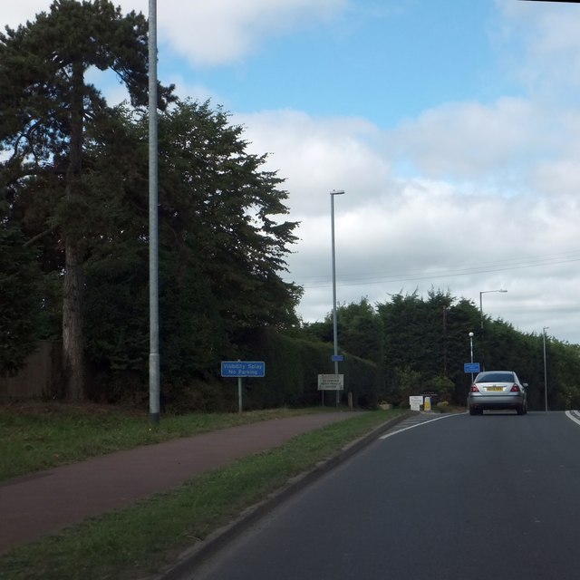
Image: © David Smith Taken: 30 Aug 2013
The sign is unusual; it is needed because the road ahead is the access to a depot used by large delivery lorries.
Images are licensed for reuse under creativecommons.org/licenses/by-sa/2.0
Image Location
Latitude
50.982526
Longitude
-3.206697