Woodland on Rowley Down
Introduction
The photograph on this page of Woodland on Rowley Down by David Smith as part of the Geograph project.
The Geograph project started in 2005 with the aim of publishing, organising and preserving representative images for every square kilometre of Great Britain, Ireland and the Isle of Man.

There are currently over 7.5m images from over 14,400 individuals and you can help contribute to the project by visiting https://www.geograph.org.uk
Woodland on Rowley Down
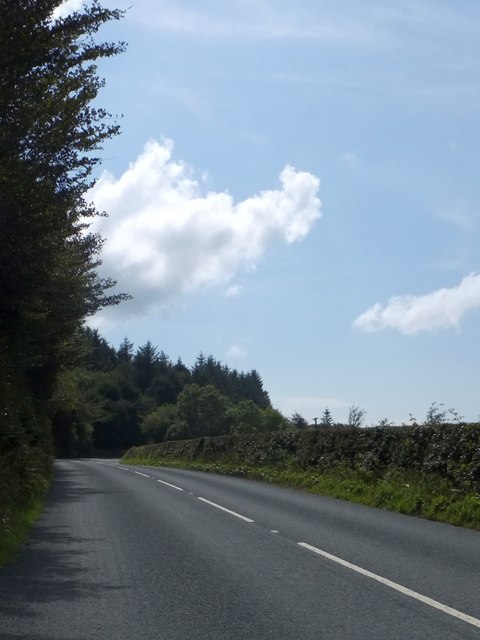
Image: © David Smith Taken: 20 Aug 2013
A stretch of woodland alongside the A39 which screens a farm and the adjoining field from the noise of the road.
Images are licensed for reuse under creativecommons.org/licenses/by-sa/2.0
Image Location
Latitude
51.175488
Longitude
-3.926311