The woodland in Perretts Field
Introduction
The photograph on this page of The woodland in Perretts Field by Marathon as part of the Geograph project.
The Geograph project started in 2005 with the aim of publishing, organising and preserving representative images for every square kilometre of Great Britain, Ireland and the Isle of Man.

There are currently over 7.5m images from over 14,400 individuals and you can help contribute to the project by visiting https://www.geograph.org.uk
The woodland in Perretts Field
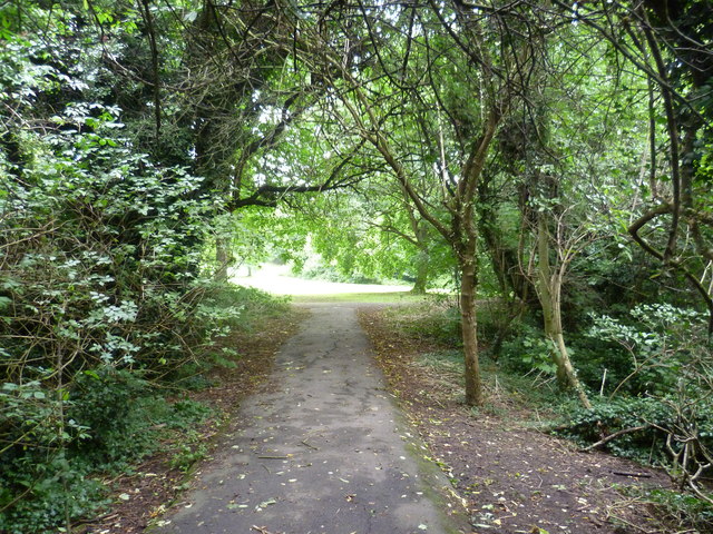
Image: © Marathon Taken: 11 Sep 2013
This small park is also known by local people as Seears Park, although Seears Park is just the formal area to the south of the woods. The north-western part, adjacent to St Dunstan's Hill (A24), is largely woodland with a few clearings, as here in the distance.
Images are licensed for reuse under creativecommons.org/licenses/by-sa/2.0
Image Location
Latitude
51.362599
Longitude
-0.212986