Castle Combe - Trimmels
Introduction
The photograph on this page of Castle Combe - Trimmels by Rob Farrow as part of the Geograph project.
The Geograph project started in 2005 with the aim of publishing, organising and preserving representative images for every square kilometre of Great Britain, Ireland and the Isle of Man.

There are currently over 7.5m images from over 14,400 individuals and you can help contribute to the project by visiting https://www.geograph.org.uk
Castle Combe - Trimmels
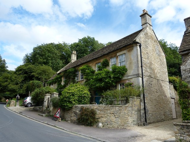
Image: © Rob Farrow Taken: 8 Sep 2013
This house called Trimmels is situated on the eastern side of The Street in Castle Combe almost opposite the Butter Cross, as the road starts to climb gently out of the village. It dates from the C17th & C18th - see listing here https://historicengland.org.uk/listing/the-list/list-entry/1022855
Images are licensed for reuse under creativecommons.org/licenses/by-sa/2.0
Image Location
Latitude
51.49361
Longitude
-2.228689