Starveacre Lane
Introduction
The photograph on this page of Starveacre Lane by Penny Mayes as part of the Geograph project.
The Geograph project started in 2005 with the aim of publishing, organising and preserving representative images for every square kilometre of Great Britain, Ireland and the Isle of Man.

There are currently over 7.5m images from over 14,400 individuals and you can help contribute to the project by visiting https://www.geograph.org.uk
Starveacre Lane
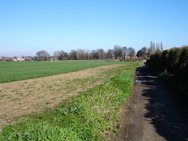
Image: © Penny Mayes Taken: 12 Mar 2007
Contrary to appearances, this lane is surfaced at this point but degenerates into an even muddier track behind the photographer. The wheat field on the left runs down to the allotments on Riddles Road http://www.geograph.org.uk/photo/364027 and backs onto gardens on Borden Lane out of shot to the left. The large building on the right is the Adult Education College in the next square.
Images are licensed for reuse under creativecommons.org/licenses/by-sa/2.0
Image Location
Latitude
51.333393
Longitude
0.7166