Coppermill Road
Introduction
The photograph on this page of Coppermill Road by Alan Hunt as part of the Geograph project.
The Geograph project started in 2005 with the aim of publishing, organising and preserving representative images for every square kilometre of Great Britain, Ireland and the Isle of Man.

There are currently over 7.5m images from over 14,400 individuals and you can help contribute to the project by visiting https://www.geograph.org.uk
Coppermill Road
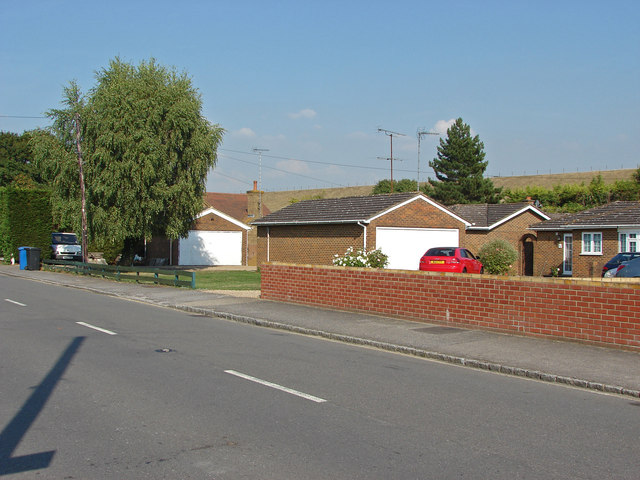
Image: © Alan Hunt Taken: 5 Sep 2013
OS square TQ0274 is mostly covered by the Wraysbury Reservoir. The only two accessible places that this square can be photographed is the extreme south east corner where the M25 cuts across and this tiny sliver of Coppermill Road in the north west of the square.
Images are licensed for reuse under creativecommons.org/licenses/by-sa/2.0
Image Location
Latitude
51.46461
Longitude
-0.533064