Cattle grid and cattle creep
Introduction
The photograph on this page of Cattle grid and cattle creep by Alan Murray-Rust as part of the Geograph project.
The Geograph project started in 2005 with the aim of publishing, organising and preserving representative images for every square kilometre of Great Britain, Ireland and the Isle of Man.

There are currently over 7.5m images from over 14,400 individuals and you can help contribute to the project by visiting https://www.geograph.org.uk
Cattle grid and cattle creep
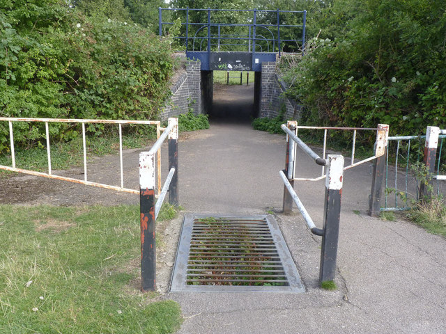
Image: © Alan Murray-Rust Taken: 21 Aug 2013
The bridge was probably built principally to allow the passage of cattle under the railway, but it now serves the extensive network of paths on the various Cambridge commons. Cattle grids are a feature of the network, necessary because of the high levels of cycle traffic and the fact that traditional rights to graze cattle on the commons are still exercised.
Images are licensed for reuse under creativecommons.org/licenses/by-sa/2.0
Image Location


Leaflet Map data © OpenStreetMap
Latitude
52.208181
Longitude
0.149916