River Lane, Waters Upton near Telford, Shropshire
Introduction
The photograph on this page of River Lane, Waters Upton near Telford, Shropshire by P L Chadwick as part of the Geograph project.
The Geograph project started in 2005 with the aim of publishing, organising and preserving representative images for every square kilometre of Great Britain, Ireland and the Isle of Man.

There are currently over 7.5m images from over 14,400 individuals and you can help contribute to the project by visiting https://www.geograph.org.uk
River Lane, Waters Upton near Telford, Shropshire
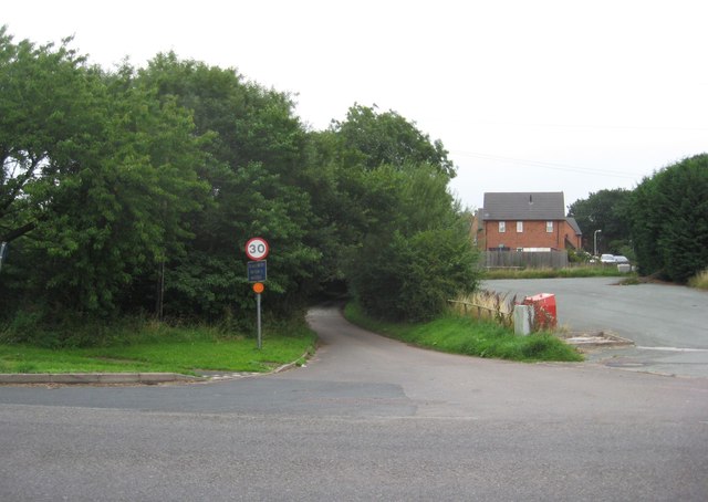
Image: © P L Chadwick Taken: 25 Aug 2013
River Lane leads to the main part of the village of Waters Upton. It is seen here at its junction with the A442 road. On the right is part of the car park of the Swan public house.
Images are licensed for reuse under creativecommons.org/licenses/by-sa/2.0
Image Location
Latitude
52.770369
Longitude
-2.547746