Rail overbridge on the old Solway Junction Railway
Introduction
The photograph on this page of Rail overbridge on the old Solway Junction Railway by Oliver Dixon as part of the Geograph project.
The Geograph project started in 2005 with the aim of publishing, organising and preserving representative images for every square kilometre of Great Britain, Ireland and the Isle of Man.

There are currently over 7.5m images from over 14,400 individuals and you can help contribute to the project by visiting https://www.geograph.org.uk
Rail overbridge on the old Solway Junction Railway
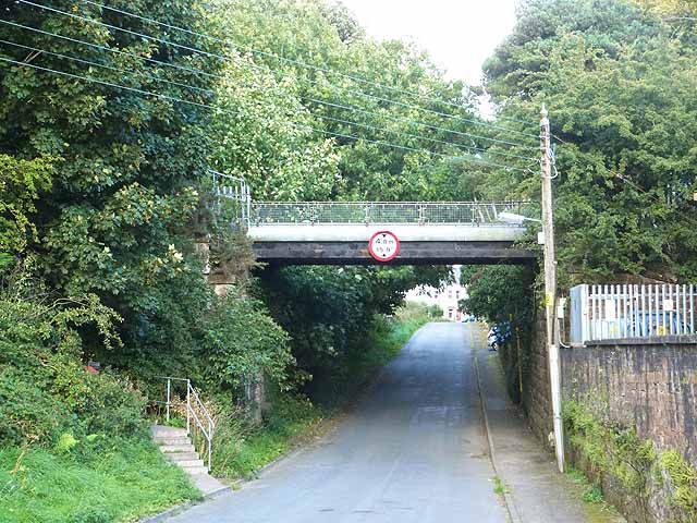
Image: © Oliver Dixon Taken: 2 Sep 2013
The Solway Junction Railway linked Brayton on the Maryport and Carlisle Railway with Kirtlebridge on the Caledonian Railway Main Line. Opened in 1869, this section was closed in 1921 when the Solway Viaduct was closed to traffic. It is not certain what current use is made of the trackbed over the bridge which crosses Seafield Road.
Images are licensed for reuse under creativecommons.org/licenses/by-sa/2.0
Image Location
Latitude
54.980652
Longitude
-3.24873