A39 approaching Bideford
Introduction
The photograph on this page of A39 approaching Bideford by David Smith as part of the Geograph project.
The Geograph project started in 2005 with the aim of publishing, organising and preserving representative images for every square kilometre of Great Britain, Ireland and the Isle of Man.

There are currently over 7.5m images from over 14,400 individuals and you can help contribute to the project by visiting https://www.geograph.org.uk
A39 approaching Bideford
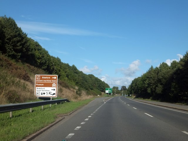
Image: © David Smith Taken: 19 Aug 2013
West of the River Torridge, the A39 runs through a cutting. The brown (tourist) sign encourages visitors to Bideford, though the majority of motorists use the bridge and by-pass the town.
Images are licensed for reuse under creativecommons.org/licenses/by-sa/2.0
Image Location
Latitude
51.02979
Longitude
-4.21591