Auchterhouse Station
Introduction
The photograph on this page of Auchterhouse Station by Elliott Simpson as part of the Geograph project.
The Geograph project started in 2005 with the aim of publishing, organising and preserving representative images for every square kilometre of Great Britain, Ireland and the Isle of Man.

There are currently over 7.5m images from over 14,400 individuals and you can help contribute to the project by visiting https://www.geograph.org.uk
Auchterhouse Station
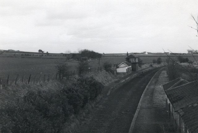
Image: © Elliott Simpson Taken: Unknown
The track of the original Dundee to Newtyle Railway came across the fields behind the station - the scrubby trees now line the route
Images are licensed for reuse under creativecommons.org/licenses/by-sa/2.0
Image Location


Leaflet Map data © OpenStreetMap
Latitude
56.525499
Longitude
-3.085655