Fields by the old Railway
Introduction
The photograph on this page of Fields by the old Railway by Anne Burgess as part of the Geograph project.
The Geograph project started in 2005 with the aim of publishing, organising and preserving representative images for every square kilometre of Great Britain, Ireland and the Isle of Man.

There are currently over 7.5m images from over 14,400 individuals and you can help contribute to the project by visiting https://www.geograph.org.uk
Fields by the old Railway
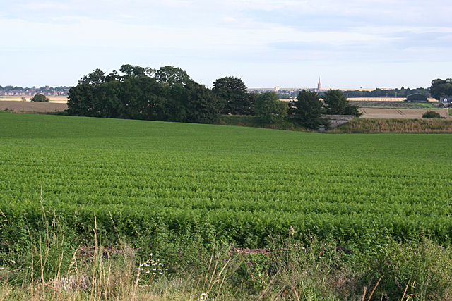
Image: © Anne Burgess Taken: 27 Aug 2013
The trees at the far side of this field mark the line of the disused railway between Brechin and Montrose, which crosses the field drain by a bridge just to the right of the trees.
Images are licensed for reuse under creativecommons.org/licenses/by-sa/2.0
Image Location
Latitude
56.732441
Longitude
-2.502884