Former railway route now the A4048, Tredegar
Introduction
The photograph on this page of Former railway route now the A4048, Tredegar by Jaggery as part of the Geograph project.
The Geograph project started in 2005 with the aim of publishing, organising and preserving representative images for every square kilometre of Great Britain, Ireland and the Isle of Man.

There are currently over 7.5m images from over 14,400 individuals and you can help contribute to the project by visiting https://www.geograph.org.uk
Former railway route now the A4048, Tredegar
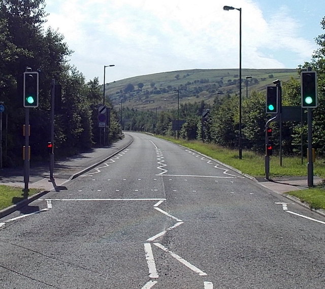
Image: © Jaggery Taken: 5 Sep 2013
Looking south along the A4048 from the near the Bedwellty Park roundabout. The road here runs parallel with the Sirhowy River, which flows behind the trees and bushes on the left. Old maps show that this used to be the route of a railway, and that the photo was taken near or perhaps in the site of Tredegar railway station. Passenger services in this area ceased in 1960.
Images are licensed for reuse under creativecommons.org/licenses/by-sa/2.0
Image Location
Latitude
51.765568
Longitude
-3.24022