The former Dinorben Arms, Bodfari
Introduction
The photograph on this page of The former Dinorben Arms, Bodfari by Philip Halling as part of the Geograph project.
The Geograph project started in 2005 with the aim of publishing, organising and preserving representative images for every square kilometre of Great Britain, Ireland and the Isle of Man.

There are currently over 7.5m images from over 14,400 individuals and you can help contribute to the project by visiting https://www.geograph.org.uk
The former Dinorben Arms, Bodfari
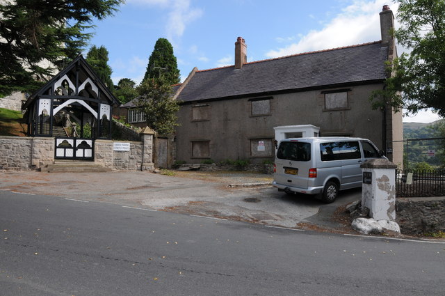
Image: © Philip Halling Taken: 30 Aug 2013
This used to be a popular public house. When walking Offa's Dyke Path in June 1999, I have fond memories of having a meal here on the terrace, whilst enjoying the view over the Vale of Clwyd on a fine midsummer's evening.
Images are licensed for reuse under creativecommons.org/licenses/by-sa/2.0
Image Location
Latitude
53.219991
Longitude
-3.360772