Westgate houses west of Broad Shoard House, Cowbridge
Introduction
The photograph on this page of Westgate houses west of Broad Shoard House, Cowbridge by Jaggery as part of the Geograph project.
The Geograph project started in 2005 with the aim of publishing, organising and preserving representative images for every square kilometre of Great Britain, Ireland and the Isle of Man.

There are currently over 7.5m images from over 14,400 individuals and you can help contribute to the project by visiting https://www.geograph.org.uk
Westgate houses west of Broad Shoard House, Cowbridge
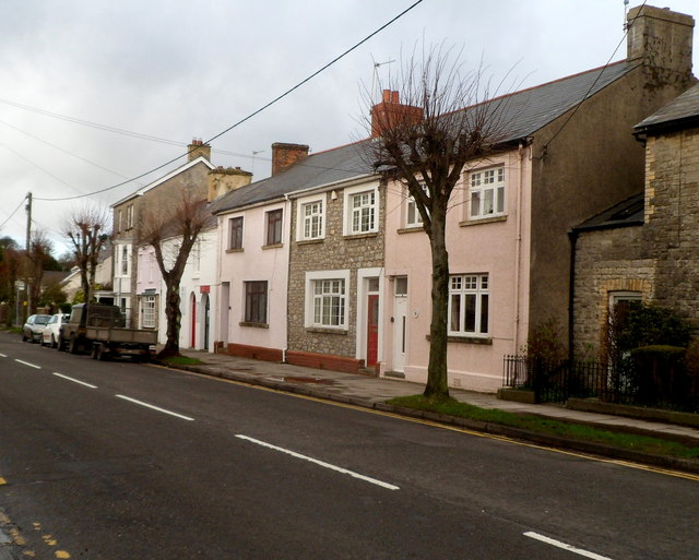
Image: © Jaggery Taken: 19 Jan 2012
The edge of the curiously named Broad Shoard House http://www.geograph.org.uk/photo/3638789 is on the right.
Images are licensed for reuse under creativecommons.org/licenses/by-sa/2.0
Image Location
Latitude
51.46315
Longitude
-3.453692