The B5069 (Chester Road) at Ebnal
Introduction
The photograph on this page of The B5069 (Chester Road) at Ebnal by Jeff Buck as part of the Geograph project.
The Geograph project started in 2005 with the aim of publishing, organising and preserving representative images for every square kilometre of Great Britain, Ireland and the Isle of Man.

There are currently over 7.5m images from over 14,400 individuals and you can help contribute to the project by visiting https://www.geograph.org.uk
The B5069 (Chester Road) at Ebnal
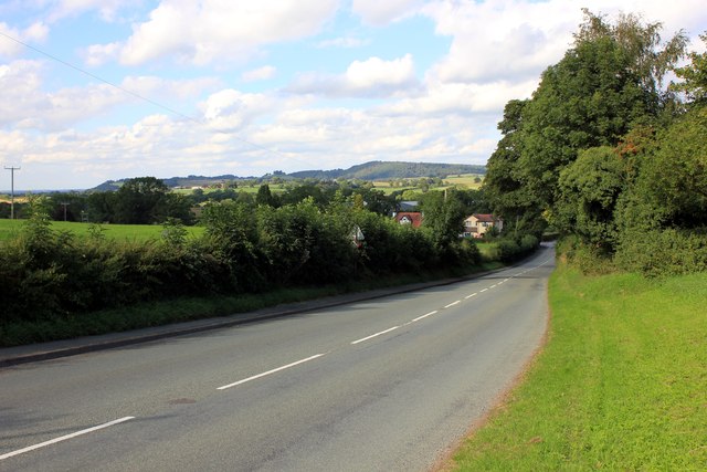
Image: © Jeff Buck Taken: 3 Sep 2013
The B5069 (Chester Road) at the junction with Ebnal Lane heading north towards Hampton Heath. In the distance are the Peckforton and Bickerton Hills.
Images are licensed for reuse under creativecommons.org/licenses/by-sa/2.0
Image Location
Latitude
53.032287
Longitude
-2.754189