Towards Coed y Rhyd, Peacehaven, Tredegar
Introduction
The photograph on this page of Towards Coed y Rhyd, Peacehaven, Tredegar by Jaggery as part of the Geograph project.
The Geograph project started in 2005 with the aim of publishing, organising and preserving representative images for every square kilometre of Great Britain, Ireland and the Isle of Man.

There are currently over 7.5m images from over 14,400 individuals and you can help contribute to the project by visiting https://www.geograph.org.uk
Towards Coed y Rhyd, Peacehaven, Tredegar
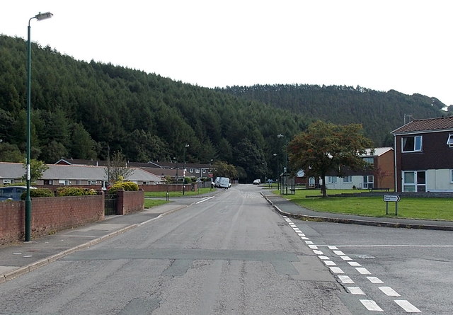
Image: © Jaggery Taken: 5 Sep 2013
Looking towards the wooded high ground of Coed y Rhyd from Peacehaven, an area of housing in the SE of Tredegar.
Images are licensed for reuse under creativecommons.org/licenses/by-sa/2.0
Image Location
Latitude
51.758876
Longitude
-3.226706