Barry Pilot Station
Introduction
The photograph on this page of Barry Pilot Station by Jaggery as part of the Geograph project.
The Geograph project started in 2005 with the aim of publishing, organising and preserving representative images for every square kilometre of Great Britain, Ireland and the Isle of Man.

There are currently over 7.5m images from over 14,400 individuals and you can help contribute to the project by visiting https://www.geograph.org.uk
Barry Pilot Station
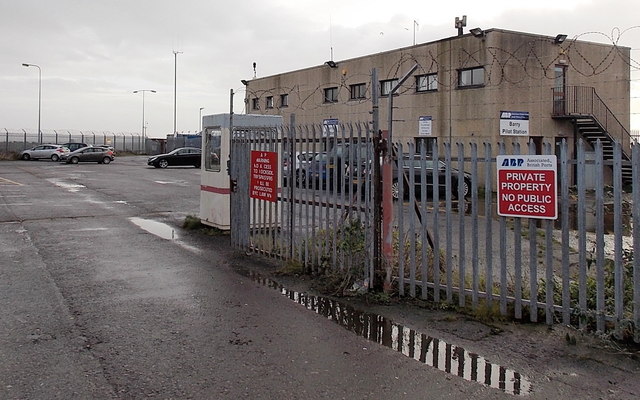
Image: © Jaggery Taken: 30 Dec 2012
Located near the entrance channel to Barry Docks, near the lifeboat station. http://www.geograph.org.uk/photo/3636952 Though there is barbed wire on the fence and warnings about trespassing on private property, the gates are wide open. I remained on the public road and turned back at this point.
Images are licensed for reuse under creativecommons.org/licenses/by-sa/2.0
Image Location
Latitude
51.393082
Longitude
-3.261308