Stanhope Road, Highgate
Introduction
The photograph on this page of Stanhope Road, Highgate by David Howard as part of the Geograph project.
The Geograph project started in 2005 with the aim of publishing, organising and preserving representative images for every square kilometre of Great Britain, Ireland and the Isle of Man.

There are currently over 7.5m images from over 14,400 individuals and you can help contribute to the project by visiting https://www.geograph.org.uk
Stanhope Road, Highgate
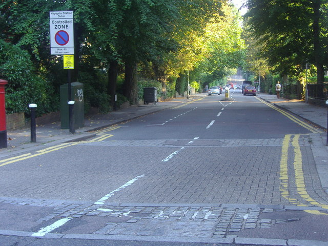
Image: © David Howard Taken: 4 Sep 2013
The junction here at the edge of Shepherds Hill has been meaninglessly tinkered with by the council despite it now being used as a bus route.
Images are licensed for reuse under creativecommons.org/licenses/by-sa/2.0
Image Location
Latitude
51.579681
Longitude
-0.132318