Cottage near Woodsdale Farm
Introduction
The photograph on this page of Cottage near Woodsdale Farm by Marathon as part of the Geograph project.
The Geograph project started in 2005 with the aim of publishing, organising and preserving representative images for every square kilometre of Great Britain, Ireland and the Isle of Man.

There are currently over 7.5m images from over 14,400 individuals and you can help contribute to the project by visiting https://www.geograph.org.uk
Cottage near Woodsdale Farm
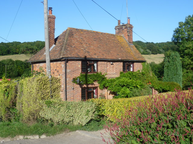
Image: © Marathon Taken: 31 Aug 2013
This cottage is seen from the Stour Valley Walk as it descends to Woodsdale Farm. Beyond can be seen Denge Wood. The Stour Valley Walk follows the route of the River Stour from its source at Lenham to Canterbury and on to Pegwell Bay. For more information on the Stour Valley Walk see https://en.wikipedia.org/wiki/Stour_Valley_Walk and http://explorekent.org/activities/stour-valley-walk/
Images are licensed for reuse under creativecommons.org/licenses/by-sa/2.0
Image Location
Latitude
51.221689
Longitude
0.985875