Disused line
Introduction
The photograph on this page of Disused line by Debbie J as part of the Geograph project.
The Geograph project started in 2005 with the aim of publishing, organising and preserving representative images for every square kilometre of Great Britain, Ireland and the Isle of Man.

There are currently over 7.5m images from over 14,400 individuals and you can help contribute to the project by visiting https://www.geograph.org.uk
Disused line
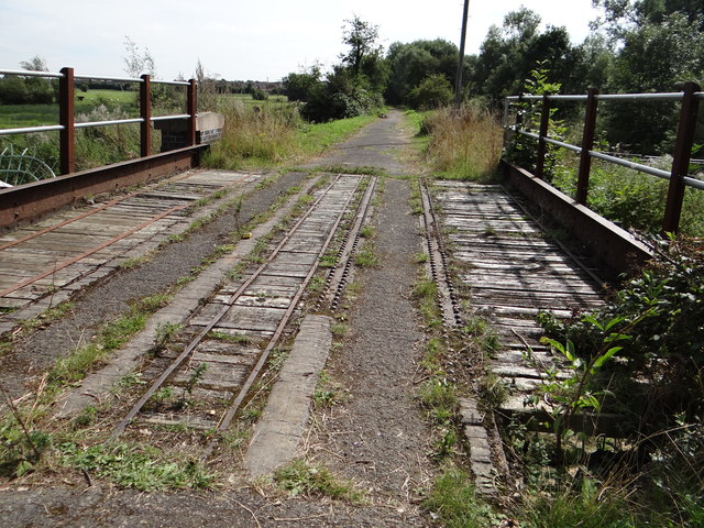
Image: © Debbie J Taken: 2 Sep 2013
Part of the old disused Cranwell line that goes over the River Slea
Images are licensed for reuse under creativecommons.org/licenses/by-sa/2.0
Image Location


Leaflet Map data © OpenStreetMap
Latitude
52.999934
Longitude
-0.428214