The Arundell Arms, Lifton
Introduction
The photograph on this page of The Arundell Arms, Lifton by mike smith as part of the Geograph project.
The Geograph project started in 2005 with the aim of publishing, organising and preserving representative images for every square kilometre of Great Britain, Ireland and the Isle of Man.

There are currently over 7.5m images from over 14,400 individuals and you can help contribute to the project by visiting https://www.geograph.org.uk
The Arundell Arms, Lifton
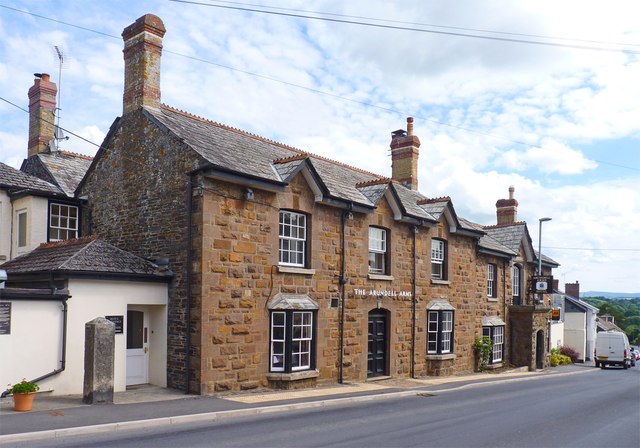
Image: © mike smith Taken: 7 Aug 2013
Built in the 18th century, this was a coaching inn on the main west-country road which ran through the village. What later became the A30 trunk route now bypasses the village.
Images are licensed for reuse under creativecommons.org/licenses/by-sa/2.0
Image Location
Latitude
50.643256
Longitude
-4.28466