Spring Wells, Billingborough
Introduction
The photograph on this page of Spring Wells, Billingborough by Dave Hitchborne as part of the Geograph project.
The Geograph project started in 2005 with the aim of publishing, organising and preserving representative images for every square kilometre of Great Britain, Ireland and the Isle of Man.

There are currently over 7.5m images from over 14,400 individuals and you can help contribute to the project by visiting https://www.geograph.org.uk
Spring Wells, Billingborough
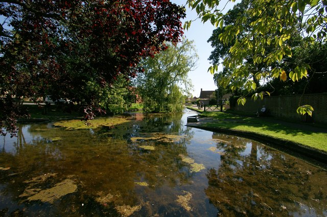
Image: © Dave Hitchborne Taken: 26 Aug 2013
This spot is known as Spring Wells. Only once in recent years have the springs been known to fail. On 1st January 1967, after several dry seasons, they dried up and remained dry for six weeks before re-appearing. Summer and winter alike, the temperature of the springs is a degree or two above freezing.
Images are licensed for reuse under creativecommons.org/licenses/by-sa/2.0
Image Location
Latitude
52.89392
Longitude
-0.340778