Kempston Church End (2)
Introduction
The photograph on this page of Kempston Church End (2) by Richard Schmidt as part of the Geograph project.
The Geograph project started in 2005 with the aim of publishing, organising and preserving representative images for every square kilometre of Great Britain, Ireland and the Isle of Man.

There are currently over 7.5m images from over 14,400 individuals and you can help contribute to the project by visiting https://www.geograph.org.uk
Kempston Church End (2)
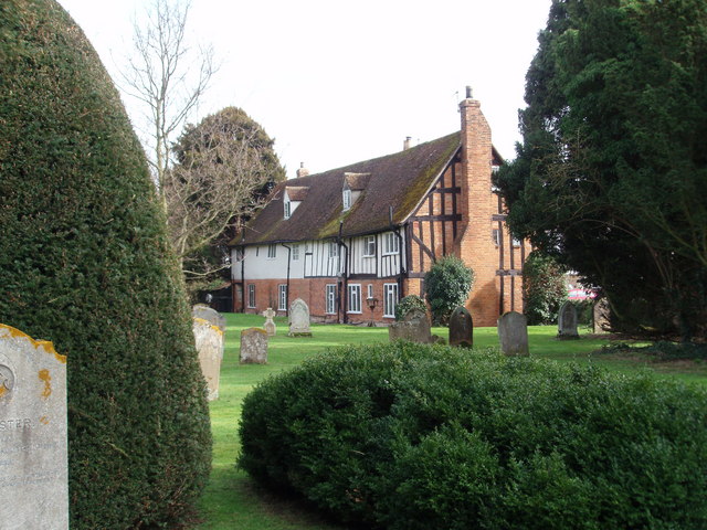
Image: © Richard Schmidt Taken: 10 Mar 2007
Cottages border the graveyard at Kempston Church End.
Images are licensed for reuse under creativecommons.org/licenses/by-sa/2.0
Image Location
Latitude
52.120461
Longitude
-0.518349