Gloucester Close, Cwmbran
Introduction
The photograph on this page of Gloucester Close, Cwmbran by Jaggery as part of the Geograph project.
The Geograph project started in 2005 with the aim of publishing, organising and preserving representative images for every square kilometre of Great Britain, Ireland and the Isle of Man.

There are currently over 7.5m images from over 14,400 individuals and you can help contribute to the project by visiting https://www.geograph.org.uk
Gloucester Close, Cwmbran
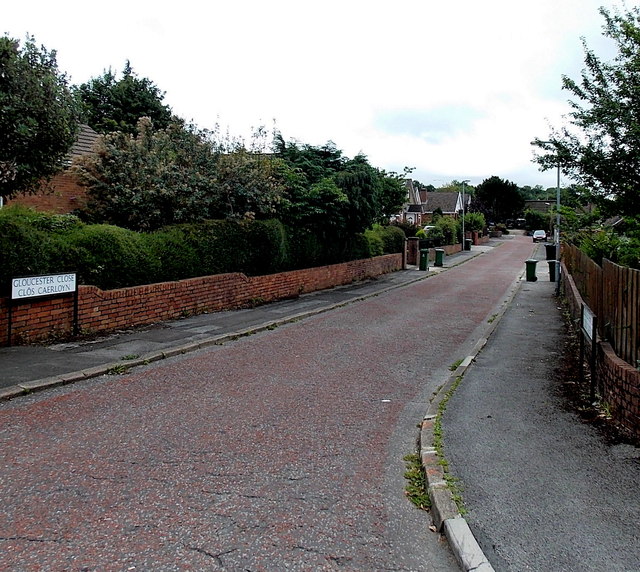
Image: © Jaggery Taken: 30 Aug 2013
Gloucester Close is a 110 metre long cul-de-sac on the south side of Llanyravon Way. Though the Welsh name for Gloucester is Caerloyw, the bilingual street name sign shows Caerloyn, probably the result of a misreading either in the street name department of the local council, or at the signmakers. The confusion is understandable as the Welsh for nearby Caerleon is Caerllion.
Images are licensed for reuse under creativecommons.org/licenses/by-sa/2.0
Image Location
Latitude
51.651122
Longitude
-3.003072